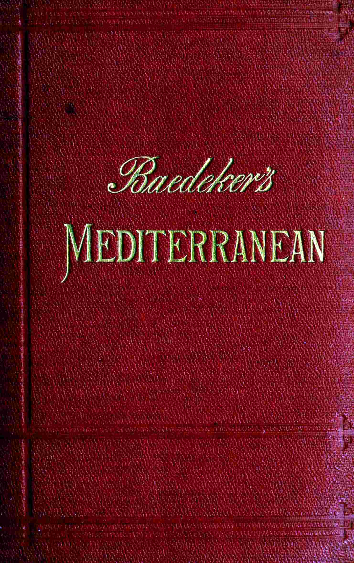






Karl Baedeker's 1911 Mediterranean handbook presents an exhaustive geographical and practical guide for travellers navigating the classic sea routes and coastlands of the Mediterranean basin. The volume is divided into separable sections that systematically cover the voyage from England down the Portuguese coast, the islands of Madeira and the Canaries, Andalusia, Morocco, the western and eastern Mediterranean sea routes, Algeria, Tunisia, Egypt, Palestine, Syria, Greece, Constantinople, and the Black Sea. The text meticulously details seaports, steamer lines, railway routes, health hints, local currencies, and intercultural interactions, providing a complete logistical framework for the Edwardian traveller. Alongside these practical instructions, the handbook incorporates comprehensive geographical sketches by Professor Theobald Fischer, elucidating the geological formation, climate, vegetation, and diverse populations of the Mediterranean region.
It pays special attention to the historical background of ancient trade routes, Roman expansion, and the resurgence of commerce following the opening of the Suez Canal. The substance of the work lies in equipping the explorer with precise descriptions of points of interest, precise distances, and reliable hotel recommendations, all supported by numerous maps and plans based on authentic local surveys. While the practical data reflects the early twentieth century, the core value endures as a historical panorama of a region that served as the cradle of western civilization.