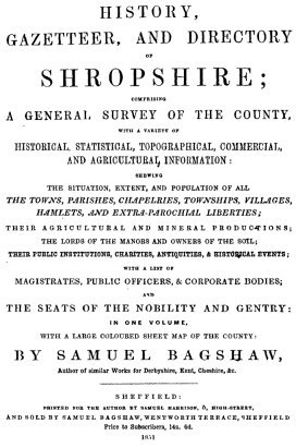



Samuel Bagshaw presents a comprehensive survey of the county of Salop, compiling historical, statistical, topographical, commercial, and agricultural information into a single volume. The text opens with a general description of the county boundaries, population statistics derived from recent parliamentary censuses, and the administrative divisions of hundreds and parishes established in antiquity. The narrative traces the early history of the region from the ancient British tribes and the Roman occupation under Ostorius Scapula down to the Saxon heptarchy and the Norman conquest, detailing events such as the battle of Caer Caradoc and the great battle of Shrewsbury.
The volume includes an extensive survey of the natural features of the county, focusing on the course of the River Severn, its tributaries, and the various canals and railways that connect Shropshire with the wider commercial networks of England. Detailed sections are devoted to the geology, mineral wealth, agriculture, and local manufactures, including the ironworks of Coalbrookdale and the porcelain works of Coalport. The author catalogues the monastic foundations, chantries, and public charities, detailing their endowments and historical suppression.
A significant portion of the work is dedicated to a detailed topographical gazetteer, arranged alphabetically by hundreds and parishes, noting the situation, extent, population, lords of the manors, church livings, and the principal seats of the nobility and gentry. The volume concludes with an exhaustive historical and descriptive account of the borough of Shrewsbury. This section covers the municipal administration, local government, the various churches and their monuments, public buildings, schools, and charitable institutions, providing a complete record of the county town at the midpoint of the nineteenth century.